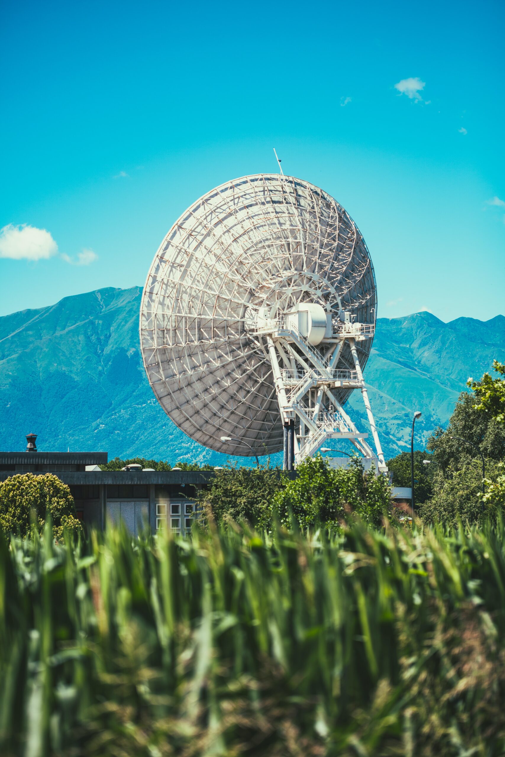
New satellite communication technology is being tested at Yellowstone monitoring stations and could have a big impact on how real-time data are collected and transmitted to YVO scientists.
As a member of the Yellowstone Volcano Observatory, EarthScope Consortium administers a network of GPS and borehole strainmeter and seismometer instruments within the park (all of which can be explored at the interactive maprun by the Wyoming State Geological Survey). These instruments depend on a strong communications network to keep data streaming and contribute to monitoring of earthquake, volcanic, and hydrothermal activity in the Yellowstone region.
The monitoring equipment in and around Yellowstone National Park is often located in out-of-the-way areas. Scientists and park staff must find locations that minimize impact on the environment and visitor experience while ensuring that the scientific and monitoring purposes are met. The locations of certain stations, such as the GPS station in Hayden Valley, are extremely remote, and maintaining a strong data connection can be a real challenge. Frequent visits to manually download data are just not possible—especially in the winter.
There are different types of communication networks that can be used to send data from these remote instruments. Radios are low power and can be used to connect anything within the line of sight to a spot with an internet connection, such as the major communications hub on Mount Washburn in Yellowstone National Park. Another communication option is cellular, which is also low power but offers higher data rates than radios, although it depends on local coverage. The third communication type used in the park is satellite, which requires more power but is only dependent on sky view.
A radio network in the park links many of the instruments in the monitoring network, but as cellular service has improved, many GPS stations have been switched to cell modems. In many cases, older satellite networks have been slowly replaced by cellular networks where possible, and there are only 3 satellite VSAT (which stands for “very small aperture terminal”) stations left in the park. Cellular communication is preferable because it is usually more reliable. During Yellowstone’s peak tourist season in the summer, however, the increase in people using their phones can clog the cellular network. There is a noticeable impact on the monitoring equipment’s real-time data returns. Ideally, a modern satellite communications method would help to decrease reliance on the cellular network, but at lower power consumption than past VSAT systems. And that is what is currently being tested in the Yellowstone region!
There are six borehole stations in Yellowstone National Park, each of which houses up to four instruments including strainmeters, seismometers, tiltmeters, and pore pressure sensors. Some of these stations also include GPS sensors and have relied upon large VSAT systems for communication. Earthscope Consortium engineers are now experimenting with new satellite communication systems for these remote sites. The new Starlink service is capable of much higher speeds than other satellite networks and can more easily maintain a constant connection to stream real-time data.
In May 2023 the satellite connection at borehole station B945 was replaced by Starlink—the first test of this service on an instrument in Yellowstone National Park. If it works well, it could reduce the occurrence of outages that interrupt the flow of data. Starlink’s power use is comparable to other satellite connections, which is still substantially higher than cell modems or radio transmitters. Whether Starlink can be adapted to work on the more power-limited stations running on solar power remains to be seen, but satellite stations like this one are connected to the park electrical grid.
So far the connection has been performing very well. If that continues, a few more stations may be switched over before this coming winter, when these snowed-in stations will be on their own.


0 Comments